That's got me thinking - since most satnavs these days seem to come with 3G built in, I wonder if there'd be some way to have them automatically show a Street View image when approaching complex junctions?
My TomTom kinda does that already.
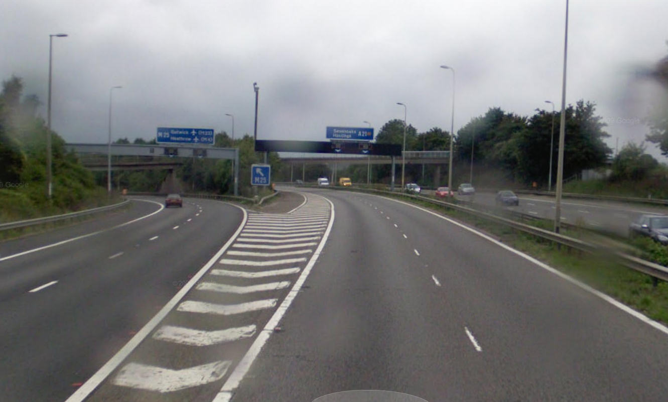
On certain motorway junctions (the tricky ones I guess) it displays an image of the junction with guidance arrows showing which lane to be in. Works well and is very handy when you hear 'at the next junction keep in the middle lane then turn right' !? When it's a four lane multiple junction.
There's also an option to 'show images' which I'm not sure what it does as enabling/disabling doesnt' make any difference, but I guess it will show an image of a landmark or suchlike as you get close to it. Doesn't work round here but maybe in a major city ? |


